For the first time, this system enables agricultural drones to have rapid mapping capability. It can shoot, map,
and analyse farmland images autonomously, generating high-definition field maps and AI prescription maps,
in which field boundaries and crop growth status are accurately identified. Its mapping efficiency is more than
80 times that of traditional manual labour.


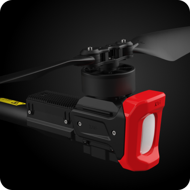 High-Performance Motors


